| Study Area |
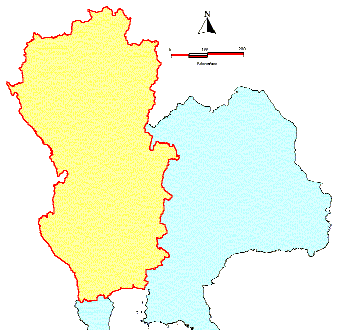 |
Cover on Chaophraya River Basin and others basin in 35 provinces.
Use monthly rainfall data between 1952-1997 to interpolate all values of this area by using GRASS with numerical approximation technique based on distance squared weighting of the values of 12 nearest data points. |
|
| View rainfall depth distribution |
| In specific month of selected period.
|
| 12 months of selected year.
|
| Rainfall Distribution Histogram |
| In specific month and year.
|
| Graph of rainfall depth distribution |
In specific month of selected period.
|
| Graph of CROSS Section |
| In specific station and nearly specific year.
|
| Annex |
| Layer
Procedure
|
|
| Other area of rainfall depth distribution |
North-Eastern Region
1952-1997 Thailand
1952-1997 Thailand for each month |
|
Data from